Approximate Walking Time: 4-5 hours
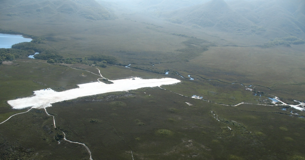
As you fly into the gravel airstrip you can spot the south coast and the track from the air.
After you get any gas you purchased from your pilot (they have it locked up in the Registration Hut) and sign the Registration Book, simply head across the airstrip and go south.
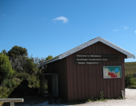
Walker Registration Hut at Melaleuca
There’s a “South Coast Track” sign and you simply can’t miss the track.
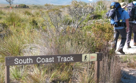
If you miss this sign, it’s not a great start!
Follow the track over the bridge at Moth Creek and keep following the very well defined track – it includes boardwalk over particularly slushy bits.
Even the boardwalks get submerged at times.
The track winds along the side of New Harbour Range, the western side of Freney Lagoon until you hit the sandy beach of Cox Bight.
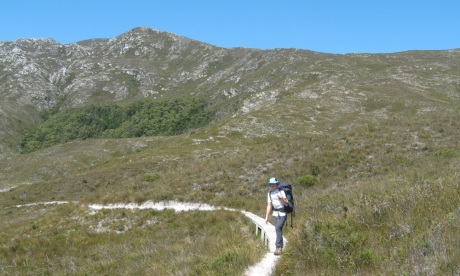
Heading beside the New Harbour Range
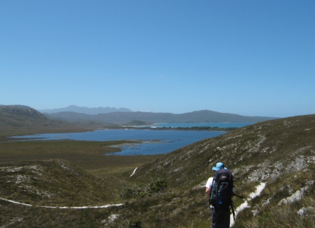
Freney Lagoon ahead, then the beach, then Cox Bight
There are 2 campsites in Cox Bight – beside the outlet of the lagoon at the back of the beach and on the east side of Point Eric.
We chose Point Eric simply because the walking had been so easy and we wanted to get further than the first campsite.
Point Eric – Sheltered Campsite On The Beach
Through the scrub of Point Eric and we soon came out on its east side to a beautiful and well sheltered campsite.
It was a glorious day and a picture-perfect spot to set up camp.
And don’t just grab the first spot in amongst the trees – wander down the beach and you’ll find some beautiful flat grassy spots right by the beach.
Fresh water can be had at Goring Creek, a couple of hundred metres up the beach.
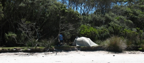
Campsite east side of Point Eric
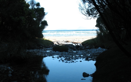
Water from Goring Creek, couple of hundred metres east of Point Eric
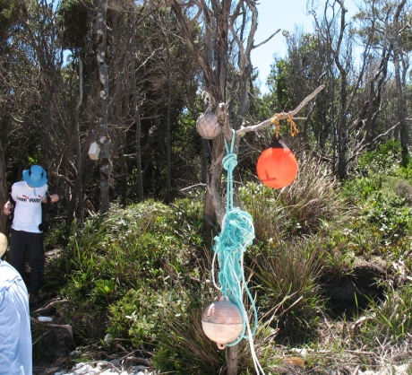
Track entry and exit points are often marked with fishing debri and buoys
Difficulty Rating: Piece of Cake
It was a cloudless day of 32 degrees C when we walked from Melaleuca to Point Eric, about 13 kms in total.
Well maintained track, with plenty of boardwalk and pretty flat.
Heavy rain would make it a pretty sludgy walk but for us, it simply couldn’t have been an easier walk.
Amazing views made it an absolutely perfect way to start the walk.

