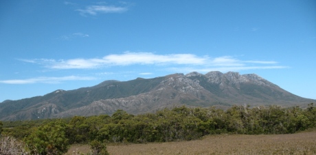
Approximate Walking Time: 5-7 hours
After a perfect night at Point Eric we set out for Louisa River, some 17 kms away.
The day was a scorcher, topping off at 36 degrees C.
We started by cruising along the beach for a couple of kilometres, across a small creek (Pender Creek) and negotiating around the Black Cliffs.
The tide was out, so no problems there.
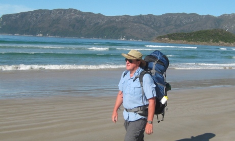
Leaving Point Eric
From there it was more beach walking to another small creek (Buoy Creek) crossing where we then headed inland – the track inland is well marked with buoys and fishing debri.
It’s then a 3-4 km hike through scrubby plains with quite a bit of mud around even on such a hot day.
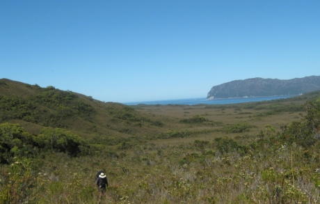
Heading from Cox Bight to Red Point Hills
The muddy sections can be quite tricky and there is a small creek to negotiate too.
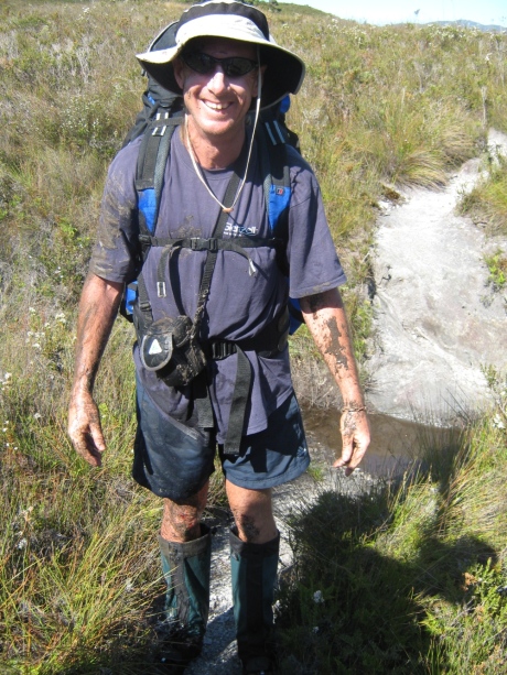
Neil takes a tumble
As you approach Red Point Hills you’ll spot the track looking particularly steep as it heads up and over.
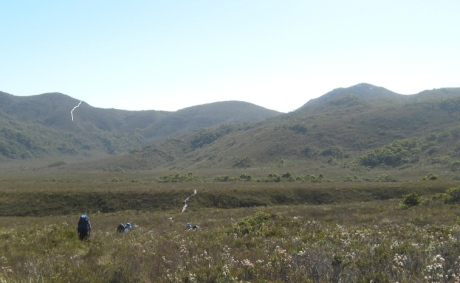
Heading to Red Point Hills – I’ve coloured white the track going up to the top.
A good part of the track up Red Point Hills is stepped and steep – the heat had us having a rest half way up in the little shade we could find.
The wonderful view from the top is well worth the tough walk up.
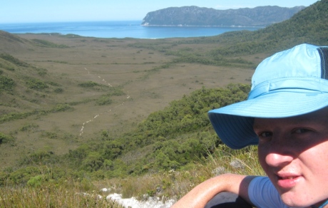
Half way up Red Point Hills
What goes up must come down which means you have a nice descent into a beautifully open plain with Spica Hills on your left.
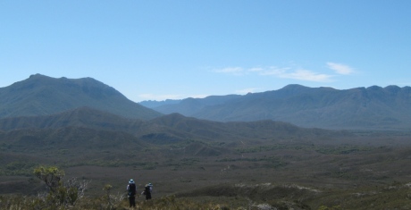
Descending Red Point Hills
You’ll find a small creek to refill any water bottles on the descent, then it’s a walk through plains to the first bit of scrub that surrounds Faraway Creek.
The creek was easily waded for us (not because we’re clever, but because it wasn’t deep at all) and has steps and a rope to make it manageable when water levels are higher than what they were for us.
Cool Forest Canopy of Louisa Creek
On we went through pretty moist plains until we got to the lovely forest canopy of Louisa Creek – another creek that can be waded with the use of a rope.
Louisa Creek has a small campsite.
The track winds around the hills and it’s pretty open walking with plenty of dampness afoot. There has been plenty of work on the track in this section, with boardwalking completed.
Plenty of ups and downs as you get closer to the forest around Louisa River.
There are campsites on both sides of the river – we crossed with the aid of the rope and set up camp in the large campsite just down the track.
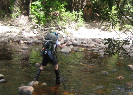
Crossing Louisa River
Difficulty Rating: Bloody Hard
It was a pretty tough day.
The heat made the (relatively) small hill a decent struggle and 17 kms was a good distance to walk before we’d really got our walking legs going.
The track was in good condition, but we were happy to make camp.

